|
search place name
|
||
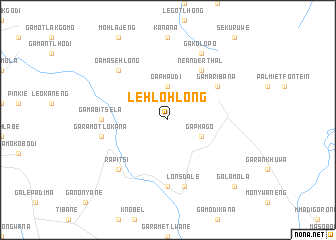
Lehlohlong (South Africa)Lehlohlong is a town in South Africa. An overview map of the region around Lehlohlong is displayed below.
regional and 3d topo map of Lehlohlong, South Africa ::
Lehlohlong airports ::
The nearest airport is PTG - Pietersburg, located 55.3 km south east of Lehlohlong.
Other airports nearby include LTA - Tzaneen (124.5 km east), PKW - Selebi-phikwe Selebi Phikwe (212.3 km north west), HDS - Hoedspruit Afb (214.3 km south east), NTY - Pilanesberg Intl (282.7 km south west), Nearby towns ::
Ga-Phagodi (3.7km north) //
Ga-Phaudi (3.7km north) //
Ga-Phago (3.9km south east) //
Neanderthal (6.5km north east) //
Ga-Maribana (6.3km north east) //
Ga-Mabitsela (6.8km west) //
Ga-Mmabasotho (7.4km south) //
Ga-Ramotlokana (7.0km west) //
Lonsdale (7.6km south) //
Ga-Masehlong (7.5km north west) //
Rapitsi (7.5km south west) //
Ga-Kolopo (8.2km north east) //
Ga-Lamola (10.1km south east) //
[all distances 'as the bird flies' and approximate] 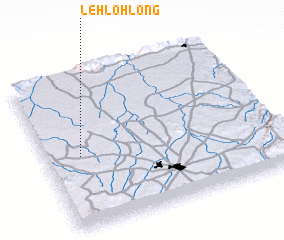 Places with similar names to Lehlohlong, South Africa ::
// Luele-Elanga (CD)
// Laulalang (ID)
Disclaimer :: Information on this page comes without warranty of any kind |
||
|
Where is Lehlohlong? Elevation and coordinates ::
Latitude (lat): 23°32'0"S Longitude (lon): 29°9'0"E
Elevation (approx.): 1126m (map arrows pan, magnifying glasses zoom) |
||
|
Visiting Lehlohlong? Hotel/Accommodation ::
Book a hotel in Lehlohlong Travel Guide ::
rental cars ::
car rental offers GPS waypoint ::
download a GPX waypoint (PoI) of Lehlohlong for your GPS receiver
|
||