|
search place name
|
||
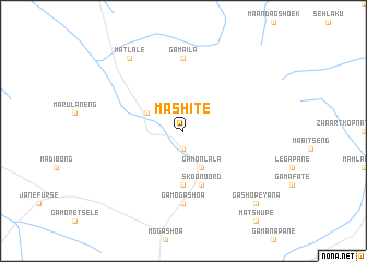
Mashite (South Africa)Mashite is a town in South Africa. An overview map of the region around Mashite is displayed below.
regional and 3d topo map of Mashite, South Africa ::
Mashite airports ::
The nearest airport is PTG - Pietersburg, located 100.4 km north west of Mashite.
Other airports nearby include LTA - Tzaneen (102.6 km north), HDS - Hoedspruit Afb (112.4 km east), PHW - Phalaborwa (144.5 km north east), SZK - Skukuza (163.2 km east), Nearby towns ::
Ga-Seopela (1.9km south) //
Manganeng (3.8km north west) //
Ga-Monlala (4.1km south east) //
Ga-Maloma (5.6km south) //
Skoonoord (5.8km south) //
Ga-Sekhukhune (5.8km south) //
Ga-Maila (7.4km north) //
Ga-Mogashoa (7.4km south) //
Matlale (9.0km north west) //
Ga-Shopeyana (10.0km south east) //
[all distances 'as the bird flies' and approximate] 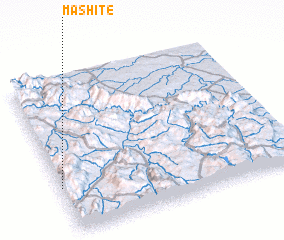 Places with similar names to Mashite, South Africa ::
Disclaimer :: Information on this page comes without warranty of any kind |
||
|
Where is Mashite? Elevation and coordinates ::
Latitude (lat): 24°42'0"S Longitude (lon): 30°0'0"E
Elevation (approx.): 1164m (map arrows pan, magnifying glasses zoom) |
||
|
Visiting Mashite? Hotel/Accommodation ::
Book a hotel in Mashite Travel Guide ::
rental cars ::
car rental offers GPS waypoint ::
download a GPX waypoint (PoI) of Mashite for your GPS receiver
|
||