|
search place name
|
||
Struishoek (South Africa)Struishoek is a town in South Africa. An overview map of the region around Struishoek is displayed below.
regional and 3d topo map of Struishoek, South Africa ::

Struishoek airports ::
The nearest airport is ALJ - Alexander Bay, located 77.2 km west of Struishoek.
Other airports nearby include KLZ - Kleinsee (96.3 km south), SBU - Springbok (115.2 km south east), AGZ - Aggeneys (158.7 km east), Nearby towns ::
Eksteenfontein (1.6km west) //
[all distances 'as the bird flies' and approximate] 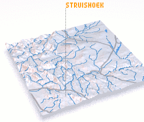 Places with similar names to Struishoek, South Africa ::
// Starchiki (RU)
// Staroshigay (RU)
// Streichegg (AT)
// Strachówka (PL)
// Zdrochec (PL)
// Starosheyka (UA)
// Sidoryshki (BY)
// Starushki (BY)
Disclaimer :: Information on this page comes without warranty of any kind |
||
|
Where is Struishoek? Elevation and coordinates ::
Latitude (lat): 28°50'0"S Longitude (lon): 17°16'0"E
Elevation (approx.): 629m (map arrows pan, magnifying glasses zoom) |
||
|
Visiting Struishoek? Hotel/Accommodation ::
Book a hotel in Struishoek Travel Guide ::
rental cars ::
car rental offers GPS waypoint ::
download a GPX waypoint (PoI) of Struishoek for your GPS receiver
|
||