|
search place name
|
||
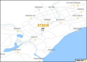
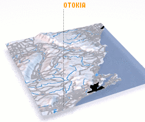
Otokia (Akaroa, New Zealand)Otokia is a town in the Akaroa region of New Zealand. An overview map of the region around Otokia is displayed below.
regional and 3d topo map of Otokia, New Zealand ::
Otokia airports ::
The nearest airport is DUD - Dunedin, located 2.4 km north of Otokia.
Other airports nearby include ALR - Alexandra (104.4 km north west), OAM - Oamaru (128.9 km north east), ZQN - Queenstown International Queenstown (153.9 km north west), IVC - Invercargill (154.5 km west), Nearby towns ::
 Places with similar names to Otokia, New Zealand ::
Disclaimer :: Information on this page comes without warranty of any kind |
||
|
Where is Otokia? Elevation and coordinates ::
Latitude (lat): 45°57'0"S Longitude (lon): 170°12'0"E
Elevation (approx.): 2m (map arrows pan, magnifying glasses zoom) |
||
|
Visiting Otokia? Hotel/Accommodation ::
Book a hotel in Otokia Travel Guide ::
Buy a travel guide for New Zealand rental cars ::
car rental offers GPS waypoint ::
download a GPX waypoint (PoI) of Otokia for your GPS receiver
|
||