|
search place name
|
||
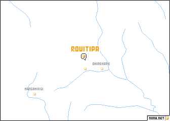
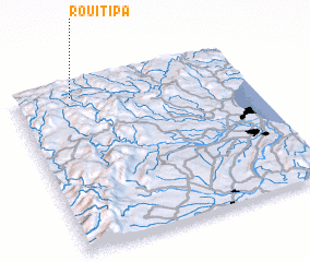
Rouiti Pa (Akaroa, New Zealand)Rouiti Pa is a town in the Akaroa region of New Zealand. An overview map of the region around Rouiti Pa is displayed below.
regional and 3d topo map of Rouiti Pa, New Zealand ::
Rouiti Pa airports ::
The nearest airport is TUO - Taupo, located 39.0 km north of Rouiti Pa.
Other airports nearby include ROT - Rotorua (106.5 km north), WHK - Whakatane (139.8 km north east), WAG - Wanganui (144.8 km south west), PMR - Palmerston North (149.4 km south), Nearby towns ::
 Places with similar names to Rouiti Pa, New Zealand ::
// Rūdupiai (LT)
// Rodopi (BG)
// Rah Tappeh (IR)
// Ruatapu (NZ)
// Redpa (AU)
// Rödupp (SE)
// Ruitapu (CN)
// Rieu-de-Pey (FR)
Disclaimer :: Information on this page comes without warranty of any kind |
||
|
Where is Rouiti Pa? Elevation and coordinates ::
Latitude (lat): 39°4'0"S Longitude (lon): 176°15'0"E
Elevation (approx.): 763m (map arrows pan, magnifying glasses zoom) |
||
|
Visiting Rouiti Pa? Hotel/Accommodation ::
Book a hotel in Rouiti Pa Travel Guide ::
Buy a travel guide for New Zealand rental cars ::
car rental offers GPS waypoint ::
download a GPX waypoint (PoI) of Rouiti Pa for your GPS receiver
|
||