|
search place name
|
||
Amachkasy (Chuvashiya, Russia)Amachkasy is a town in the Chuvashiya region of Russia. An overview map of the region around Amachkasy is displayed below.
regional and 3d topo map of Amachkasy, Russia ::

Amachkasy airports ::
The nearest airport is KZN - Kazan, located 107.7 km east of Amachkasy.
Nearby towns ::
Malinovka (2.4km east) //
Tyul'koy (2.8km south east) //
Zadniye Yandoushi (5.2km south) //
(( Koksha-Kasy )) (5.0km north) //
Bol'shoye Tugayevo (5.0km north west) //
Slovashi (3.9km north east) //
Stepanovo Pervoye (4.0km north west) //
(( Oykasy )) (5.3km north east) //
Vurmankasy Pervyye (6.5km north) //
Munsyut (5.9km north) //
Peredniye Yandoushi (6.0km south east) //
Katkasy (4.1km west) //
Povarkasy (4.5km west) //
Syatry (7.8km north) //
Iskeyevo-Yandushi (8.3km north) //
Khoruy (6.6km south east) //
(( Turi-Vyla )) (7.5km south west) //
Vysokovka Pervaya (8.9km south) //
Igorvary (7.7km north east) //
Chirshi (7.9km north west) //
Chirichkasy (9.5km north) //
[all distances 'as the bird flies' and approximate] 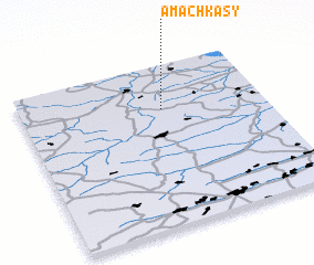 Places with similar names to Amachkasy, Russia :: Disclaimer :: Information on this page comes without warranty of any kind |
||
|
Where is Amachkasy? Elevation and coordinates ::
Latitude (lat): 55°43'25"N Longitude (lon): 47°34'47"E
Elevation (approx.): 189m (map arrows pan, magnifying glasses zoom) |
||
|
Visiting Amachkasy? Hotel/Accommodation ::
Book a hotel in Amachkasy Travel Guide ::
Buy a travel guide for Russia rental cars ::
car rental offers GPS waypoint ::
download a GPX waypoint (PoI) of Amachkasy for your GPS receiver
|
||