|
search place name
|
||
Anikonovo (Moskovskaya Oblast', Russia)Anikonovo is a town in the Moskovskaya Oblast' region of Russia. An overview map of the region around Anikonovo is displayed below.
regional and 3d topo map of Anikonovo, Russia ::

Anikonovo airports ::
The nearest airport is VKO - Moscow Vnukovo, located 111.4 km east of Anikonovo.
Other airports nearby include SVO - Moscow Sheremetyevo (128.1 km east), KLD - Tver Migalovo (139.6 km north), Nearby towns ::
Sytino (1.3km south west) //
Shvanovo (1.1km east) //
Lusos' (2.4km south) //
Simakovo (2.1km north west) //
Veshki (2.2km south east) //
Ploskoye (4.3km north) //
Brazhnikovo (5.6km south west) //
Korytovo (6.0km south east) //
Bakulino (5.0km north east) //
Sheynovo (4.4km east) //
Ul'yanovo (6.1km north west) //
Shchegolovo (5.2km west) //
Shiryakino (6.1km north east) //
Galyshkino (8.6km north) //
Lipunikha (9.0km south) //
Bobry (8.5km south west) //
Leonovo (9.5km north west) //
[all distances 'as the bird flies' and approximate] 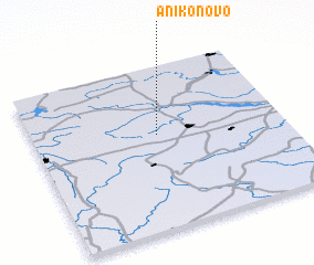 Places with similar names to Anikonovo, Russia ::
// Anikanovo (RU)
Disclaimer :: Information on this page comes without warranty of any kind |
||
|
Where is Anikonovo? Elevation and coordinates ::
Latitude (lat): 55°34'46"N Longitude (lon): 35°29'44"E
Elevation (approx.): 238m (map arrows pan, magnifying glasses zoom) |
||
|
Visiting Anikonovo? Hotel/Accommodation ::
Book a hotel in Anikonovo Travel Guide ::
Buy a travel guide for Russia rental cars ::
car rental offers GPS waypoint ::
download a GPX waypoint (PoI) of Anikonovo for your GPS receiver
|
||