|
search place name
|
||
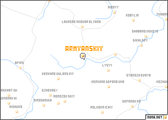
Armyanskiy (Krasnodarskiy Kray, Russia)Armyanskiy is a town in the Krasnodarskiy Kray region of Russia. An overview map of the region around Armyanskiy is displayed below.
regional and 3d topo map of Armyanskiy, Russia ::
Armyanskiy airports ::
The nearest airport is KRR - Krasnodar Pashkovskiy, located 68.9 km north east of Armyanskiy.
Other airports nearby include AER - Sochi (156.7 km south east), Nearby towns ::
Lysyy (4.5km south east) //
Verkhne-Vulanskiy (5.8km south west) //
Staro-Shabanovskiy (5.2km east) //
Lavrenenkova Polyana (7.4km north) //
Verkhne-Defanovka (7.1km south east) //
Dzhevagi (9.5km south west) //
[all distances 'as the bird flies' and approximate] 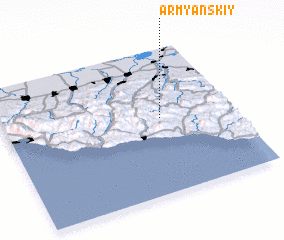 Places with similar names to Armyanskiy, Russia ::
// Armyanskiy (RU)
// Armyanskiy (RU)
// Armyanskiy (RU)
// Armyanskiy (RU)
// Armyanskiy (RU)
// Armyansʼk (UA)
Disclaimer :: Information on this page comes without warranty of any kind |
||
|
Where is Armyanskiy? Elevation and coordinates ::
Latitude (lat): 44°31'14"N Longitude (lon): 38°41'5"E
Elevation (approx.): 224m (map arrows pan, magnifying glasses zoom) |
||
|
Visiting Armyanskiy? Hotel/Accommodation ::
Book a hotel in Armyanskiy Travel Guide ::
Buy a travel guide for Russia rental cars ::
car rental offers GPS waypoint ::
download a GPX waypoint (PoI) of Armyanskiy for your GPS receiver
|
||