|
search place name
|
||
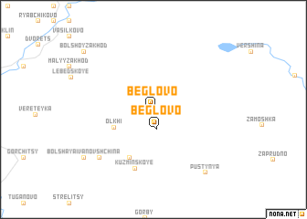
Beglovo (Novgorodskaya Oblast', Russia)Beglovo is a town in the Novgorodskaya Oblast' region of Russia. An overview map of the region around Beglovo is displayed below.
regional and 3d topo map of Beglovo, Russia ::
Beglovo airports ::
The nearest airport is LED - St. Petersburg Pulkovo, located 233.7 km north west of Beglovo.
Nearby towns ::
Beglovo (2.4km south) //
Ol'khi (3.3km south west) //
Klyuchi (6.1km south) //
Kuz'minskoye (7.3km south) //
Malaya Ivanovshchina (6.9km south west) //
Pustynya (8.5km south east) //
Bol'shaya Ivanovshchina (7.4km south west) //
Bol'shoy Zakhod (8.4km north west) //
[all distances 'as the bird flies' and approximate] 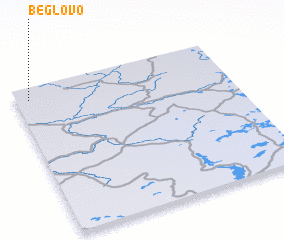 Places with similar names to Beglovo, Russia ::
Disclaimer :: Information on this page comes without warranty of any kind |
||
|
Where is Beglovo? Elevation and coordinates ::
Latitude (lat): 57°55'11"N Longitude (lon): 32°3'34"E
Elevation (approx.): 89m (map arrows pan, magnifying glasses zoom) |
||
|
Visiting Beglovo? Hotel/Accommodation ::
Book a hotel in Beglovo Travel Guide ::
Buy a travel guide for Russia rental cars ::
car rental offers GPS waypoint ::
download a GPX waypoint (PoI) of Beglovo for your GPS receiver
|
||