|
search place name
|
||
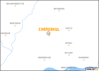
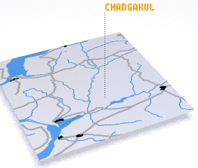
Changakul' (Bashkortostan, Russia)Changakul' is a town in the Bashkortostan region of Russia. An overview map of the region around Changakul' is displayed below.
regional and 3d topo map of Changakul', Russia ::
Changakul' airports ::
The nearest airport is PEE - Perm Bolshoye Savino, located 189.8 km north east of Changakul'.
Other airports nearby include UFA - Ufa (220.8 km south), Nearby towns ::
 Places with similar names to Changakul', Russia ::
// Chungo-gol (KP)
// Chŏng Kal (KH)
// Changa Kalle (PK)
// Shīnkai Kili (PK)
// Shinkai Kili (PK)
// Shinki Kili (PK)
// Chancacollo (PE)
// Changae-gol (KP)
// Changgae-gol (KP)
// Changgak-kol (KP)
Disclaimer :: Information on this page comes without warranty of any kind |
||
|
Where is Changakul'? Elevation and coordinates ::
Latitude (lat): 56°24'0"N Longitude (lon): 54°35'0"E
Elevation (approx.): 183m (map arrows pan, magnifying glasses zoom) |
||
|
Visiting Changakul'? Hotel/Accommodation ::
Book a hotel in Changakul' Travel Guide ::
Buy a travel guide for Russia rental cars ::
car rental offers GPS waypoint ::
download a GPX waypoint (PoI) of Changakul' for your GPS receiver
|
||