|
search place name
|
||
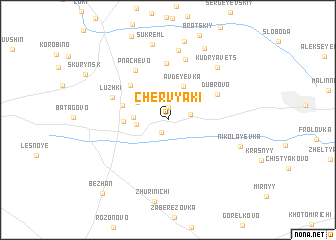
Chervyaki (Kaluzhskaya Oblast', Russia)Chervyaki is a town in the Kaluzhskaya Oblast' region of Russia. An overview map of the region around Chervyaki is displayed below.
regional and 3d topo map of Chervyaki, Russia ::
Chervyaki airports ::
The nearest airport is BZK - Bryansk, located 41.6 km south west of Chervyaki.
Nearby towns ::
Mishinskiy (1.4km north) //
Splav (1.4km south) //
Rostovskiy (1.6km north east) //
Nigreyevskiy (2.1km west) //
Kremenets (2.9km north east) //
Koryaginskiy (2.8km north west) //
Tereben' (2.3km west) //
Avdeyevka (3.9km north) //
Sergeyevskiy (3.0km west) //
Bobrovskiy (3.4km north west) //
Neloboch (4.6km north west) //
Dubrovo (4.4km north east) //
Kurgan (6.4km north) //
Pnachevo (5.9km north) //
Luzhki (4.5km north west) //
Buda (6.9km north) //
Vasyukovskiy (7.8km north) //
Kudryavets (6.7km north east) //
Nikolayevka (5.7km south east) //
Sukreml' (8.5km north) //
Trud Slobodka (8.4km north) //
Pluzhen' (8.9km north) //
Bezhan' (9.2km south west) //
[all distances 'as the bird flies' and approximate] 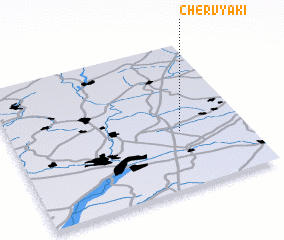
Disclaimer :: Information on this page comes without warranty of any kind |
||
|
Where is Chervyaki? Elevation and coordinates ::
Latitude (lat): 53°23'44"N Longitude (lon): 34°43'22"E
Elevation (approx.): 190m (map arrows pan, magnifying glasses zoom) |
||
|
Visiting Chervyaki? Hotel/Accommodation ::
Book a hotel in Chervyaki Travel Guide ::
Buy a travel guide for Russia rental cars ::
car rental offers GPS waypoint ::
download a GPX waypoint (PoI) of Chervyaki for your GPS receiver
|
||