|
search place name
|
||
Khakkoy (Chechnya, Russia)Khakkoy is a town in the Chechnya region of Russia. An overview map of the region around Khakkoy is displayed below.
regional and 3d topo map of Khakkoy, Russia ::

Khakkoy airports ::
The nearest airport is MCX - Makhachkala Uytash, located 161.8 km east of Khakkoy.
Nearby towns ::
Bol'shiye Varandy (1.5km north) //
Shatoy (1.6km south east) //
Vashindoroy (2.6km south) //
Gorgachi (3.2km south) //
Gush-Kert (3.4km south) //
Syuzhi (3.0km west) //
Ryadukhoy (4.1km south west) //
Nikhaloy (4.5km south) //
Urdyukhoy (5.0km south east) //
Vysokogornoye (4.7km west) //
Borzoy (5.8km south west) //
Malyye Varandy (6.9km north) //
Yukerch-Keloy (5.7km south east) //
Tumsoy (6.5km south west) //
Dekhesty (6.8km south east) //
Zony (7.5km north east) //
Bogatovka (7.1km south east) //
Bashen-Kale (9.6km south west) //
[all distances 'as the bird flies' and approximate] 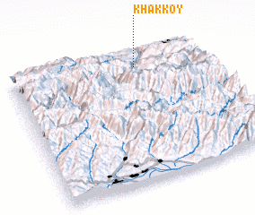 Places with similar names to Khakkoy, Russia ::
Disclaimer :: Information on this page comes without warranty of any kind |
||
|
Where is Khakkoy? Elevation and coordinates ::
Latitude (lat): 42°52'54"N Longitude (lon): 45°40'29"E
Elevation (approx.): 692m (map arrows pan, magnifying glasses zoom) |
||
|
Visiting Khakkoy? Hotel/Accommodation ::
Book a hotel in Khakkoy Travel Guide ::
Buy a travel guide for Russia rental cars ::
car rental offers GPS waypoint ::
download a GPX waypoint (PoI) of Khakkoy for your GPS receiver
|
||