|
search place name
|
||
Khanino (Ryazanskaya Oblast', Russia)Khanino is a town in the Ryazanskaya Oblast' region of Russia. An overview map of the region around Khanino is displayed below.
regional and 3d topo map of Khanino, Russia ::

Nearby towns ::
Abrakhovo (1.9km south) //
Filisovo (2.1km north west) //
Yevlevo (2.1km north west) //
Gorki (3.7km south) //
Tyurvishchi (2.8km south east) //
Droshino (2.8km north east) //
Kazykino (3.9km north) //
Yefremovo (4.3km north east) //
Makarovo (5.6km south) //
Pyshlitsy (5.7km north) //
Dubasovo (3.7km north west) //
Podsvyat'ye (3.7km north east) //
Voropino (5.7km north) //
Frolovo (5.9km south) //
Ushmor (5.9km south) //
Dorofeyevo (5.9km north) //
Zubovo (5.9km south) //
Filileyevo (4.9km north east) //
Barskoye (4.6km south east) //
Aver'kiyevo (7.5km south) //
Gorelovo (7.7km north) //
Dëmino (7.7km north) //
[all distances 'as the bird flies' and approximate] 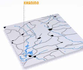 Places with similar names to Khanino, Russia ::
Disclaimer :: Information on this page comes without warranty of any kind |
||
|
Where is Khanino? Elevation and coordinates ::
Latitude (lat): 55°14'0"N Longitude (lon): 40°4'0"E
Elevation (approx.): 115m (map arrows pan, magnifying glasses zoom) |
||
|
Visiting Khanino? Hotel/Accommodation ::
Book a hotel in Khanino Travel Guide ::
Buy a travel guide for Russia rental cars ::
car rental offers GPS waypoint ::
download a GPX waypoint (PoI) of Khanino for your GPS receiver
|
||