|
search place name
|
||
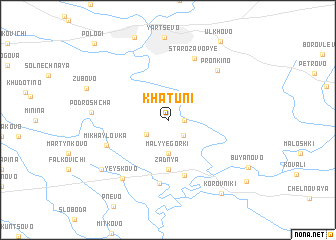
Khatuni (Smolenskaya Oblast', Russia)Khatuni is a town in the Smolenskaya Oblast' region of Russia. An overview map of the region around Khatuni is displayed below.
regional and 3d topo map of Khatuni, Russia ::
Khatuni airports ::
The nearest airport is BZK - Bryansk, located 219.3 km south east of Khatuni.
Nearby towns ::
Skrushevskiye (1.1km east) //
Pishchino (2.0km south east) //
Bol'shiye Gorki (2.2km south west) //
Malyye Gorki (3.7km south) //
Zadnya (5.6km south) //
Solov'yëvo (6.3km south) //
Makeyevo (7.1km south) //
Mikhaylovka (4.8km south west) //
Starozavop'ye (7.1km north) //
Pron'kino (6.4km north east) //
Yeyskovo (7.2km south west) //
Podroshcha (5.0km west) //
Isakovo (7.0km south west) //
Korovniki (8.8km south east) //
Ul'khovo (9.4km north) //
Svirkoluch'ye (8.6km south east) //
Pologi (9.8km north west) //
[all distances 'as the bird flies' and approximate] 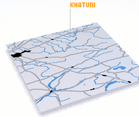 Places with similar names to Khatuni, Russia ::
Disclaimer :: Information on this page comes without warranty of any kind |
||
|
Where is Khatuni? Elevation and coordinates ::
Latitude (lat): 54°59'0"N Longitude (lon): 32°42'0"E
Elevation (approx.): 191m (map arrows pan, magnifying glasses zoom) |
||
|
Visiting Khatuni? Hotel/Accommodation ::
Book a hotel in Khatuni Travel Guide ::
Buy a travel guide for Russia rental cars ::
car rental offers GPS waypoint ::
download a GPX waypoint (PoI) of Khatuni for your GPS receiver
|
||