|
search place name
|
||
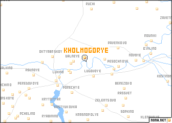
Kholmogor'ye (Kaliningradskaya Oblast', Russia)Kholmogor'ye is a town in the Kaliningradskaya Oblast' region of Russia. An overview map of the region around Kholmogor'ye is displayed below.
regional and 3d topo map of Kholmogor'ye, Russia ::
Kholmogor'ye airports ::
The nearest airport is KGD - Kaliningrad Khrabrovo, located 54.3 km north west of Kholmogor'ye.
Nearby towns ::
Dalʼneye (1.6km west) //
Rostkovo (1.9km west) //
Lugovoye (3.3km south) //
Osipenko (2.4km east) //
Berezhki (2.9km south west) //
Ladozhskoye (3.1km south west) //
Progress (3.9km south east) //
Kurortnoye (4.3km south east) //
Lukino (4.8km south west) //
Pesochnoye (4.3km east) //
Porech'ye (7.0km south) //
Oktyabrʼskoye (4.4km west) //
Pavenkovo (5.1km north east) //
Shevchenko (5.7km south west) //
Pravdinsk (6.3km south west) //
Berëzovo (7.6km south east) //
Rassvet (9.4km south east) //
[all distances 'as the bird flies' and approximate] 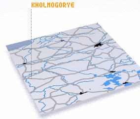 Places with similar names to Kholmogor'ye, Russia ::
// Kholmogorʼye (UA)
// Kholmogorʼye (RU)
Disclaimer :: Information on this page comes without warranty of any kind |
||
|
Where is Kholmogor'ye? Elevation and coordinates ::
Latitude (lat): 54°29'27"N Longitude (lon): 21°4'35"E
Elevation (approx.): 18m (map arrows pan, magnifying glasses zoom) |
||
|
Visiting Kholmogor'ye? Hotel/Accommodation ::
Book a hotel in Kholmogor'ye Travel Guide ::
Buy a travel guide for Russia rental cars ::
car rental offers GPS waypoint ::
download a GPX waypoint (PoI) of Kholmogor'ye for your GPS receiver
|
||