|
search place name
|
||
Khotynets (Orlovskaya Oblast', Russia)Khotynets is a town in the Orlovskaya Oblast' region of Russia. An overview map of the region around Khotynets is displayed below.
regional and 3d topo map of Khotynets, Russia ::

Khotynets airports ::
The nearest airport is BZK - Bryansk, located 82.2 km west of Khotynets.
Nearby towns ::
Khokhlovka (0.7km north east) //
Klyuchikov (0.9km north) //
Kukuyevka (1.7km south west) //
Obraztsovo (2.3km south) //
Voyeykovo (2.6km north west) //
Krasnaya Niva (3.7km south) //
Voskhod (4.5km north) //
Krasnaya Polyana (4.0km north east) //
Yasnaya Polyana (3.7km south east) //
Gremuchiy (5.1km south) //
Kleymënovo (5.0km north) //
Abolmasovo (4.2km north west) //
Dobryy Put' (4.2km south east) //
Berezuyevka (4.1km north east) //
Ranneye Utro (3.7km east) //
Dubrava (5.7km north) //
Muzalëvka (5.9km south) //
Chertovoye (4.1km south west) //
Konëvka (6.7km south) //
Krasnaya Nov' (6.3km south) //
Abrosimovo (4.8km north west) //
Ivanovskoye (5.7km south west) //
Telegino (7.2km north) //
Vysokiy Ostrov (7.7km south) //
Zvezda (5.4km south west) //
L'govskiy (8.5km north) //
Moshchënoye (6.3km north east) //
Bogoroditskoye (8.1km south) //
Pen'kovo (8.2km north west) //
[all distances 'as the bird flies' and approximate] 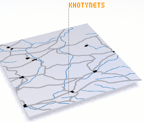
Disclaimer :: Information on this page comes without warranty of any kind |
||
|
Where is Khotynets? Elevation and coordinates ::
Latitude (lat): 53°7'30"N Longitude (lon): 35°23'50"E
Elevation (approx.): 230m (map arrows pan, magnifying glasses zoom) |
||
|
Visiting Khotynets? Hotel/Accommodation ::
Book a hotel in Khotynets Travel Guide ::
Buy a travel guide for Russia rental cars ::
car rental offers GPS waypoint ::
download a GPX waypoint (PoI) of Khotynets for your GPS receiver
|
||