|
search place name
|
||
Kremenichi (Novgorodskaya Oblast', Russia)Kremenichi is a town in the Novgorodskaya Oblast' region of Russia. An overview map of the region around Kremenichi is displayed below.
regional and 3d topo map of Kremenichi, Russia ::
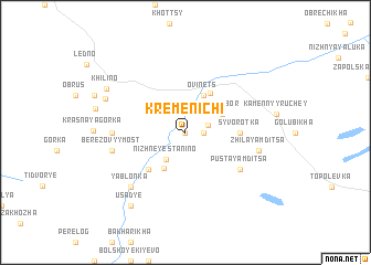
Nearby towns ::
Zapol'ye (0.0km north) //
Starosel'ye (1.0km east) //
Bor (1.4km north east) //
Nizhneye Stanino (3.0km south) //
Ovinets (3.8km north) //
Malyy Bor (2.7km north east) //
Verkhneye Stanino (3.8km south) //
Ust'ye (4.2km north) //
Sosnino (4.2km south west) //
Syvorotka (2.9km east) //
Pustaya Mditsa (4.7km south east) //
Stuglevo (3.8km west) //
Berëzovyy Most (4.2km south west) //
Zhilaya Mditsa (4.2km south east) //
Yablon'ka (6.3km south west) //
Chërnaya Novinka (5.4km north west) //
Khilino (6.1km north west) //
Usad'ye (7.9km south) //
[all distances 'as the bird flies' and approximate] 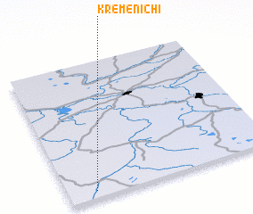 Places with similar names to Kremenichi, Russia ::
// Carmanchão (PT)
// Garmānshāh (IR)
// Kermānshāh (IR)
// Kermānshāh (IR)
// Keramanacʼh (FR)
// Kermānshāh (IR)
Disclaimer :: Information on this page comes without warranty of any kind |
||
|
Where is Kremenichi? Elevation and coordinates ::
Latitude (lat): 59°3'0"N Longitude (lon): 33°8'0"E
Elevation (approx.): 93m (map arrows pan, magnifying glasses zoom) |
||
|
Visiting Kremenichi? Hotel/Accommodation ::
Book a hotel in Kremenichi Travel Guide ::
Buy a travel guide for Russia rental cars ::
car rental offers GPS waypoint ::
download a GPX waypoint (PoI) of Kremenichi for your GPS receiver
|
||