|
search place name
|
||
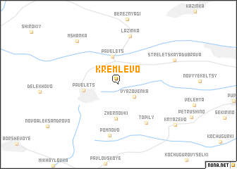
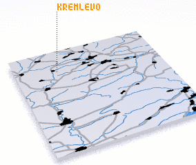
Kremlëvo (Ryazanskaya Oblast', Russia)Kremlëvo is a town in the Ryazanskaya Oblast' region of Russia. An overview map of the region around Kremlëvo is displayed below.
regional and 3d topo map of Kremlëvo, Russia ::
Kremlëvo airports ::
The nearest airport is VOZ - Voronezh Chertovitskoye, located 220.9 km south of Kremlëvo.
Nearby towns ::
 Places with similar names to Kremlëvo, Russia ::
// Karmėlava (LT)
// Kremlëvo (RU)
// Kremlëvo (RU)
// Kremlëvo (RU)
// Garm Bolāgh (AF)
// Garm Bolāgh (AF)
// Krymlov (CZ)
Disclaimer :: Information on this page comes without warranty of any kind |
||
|
Where is Kremlëvo? Elevation and coordinates ::
Latitude (lat): 53°47'55"N Longitude (lon): 39°17'43"E
Elevation (approx.): 166m (map arrows pan, magnifying glasses zoom) |
||
|
Visiting Kremlëvo? Hotel/Accommodation ::
Book a hotel in Kremlëvo Travel Guide ::
Buy a travel guide for Russia rental cars ::
car rental offers GPS waypoint ::
download a GPX waypoint (PoI) of Kremlëvo for your GPS receiver
|
||