|
search place name
|
||
MalyyeOshki (Kirovskaya Oblast', Russia)MalyyeOshki is a town in the Kirovskaya Oblast' region of Russia. An overview map of the region around MalyyeOshki is displayed below.
regional and 3d topo map of MalyyeOshki, Russia ::

MalyyeOshki airports ::
The nearest airport is KZN - Kazan, located 186.6 km south of MalyyeOshki.
Nearby towns ::
Sarda (1.2km south west) //
Bol'shiye Oshki (3.8km north) //
Mysy (2.8km east) //
Rozhdestvenskoye (5.2km north) //
Shina (5.3km north) //
Tabekovo (3.6km south east) //
Vershinyata (4.4km north west) //
Marchata (3.8km west) //
Mal'kovo (4.4km south east) //
Skryabino (7.3km north) //
Chapayevo (6.6km south east) //
Suvorovo (8.2km north) //
Arkul' (6.4km north east) //
Smorkalovo (8.7km south east) //
[all distances 'as the bird flies' and approximate] 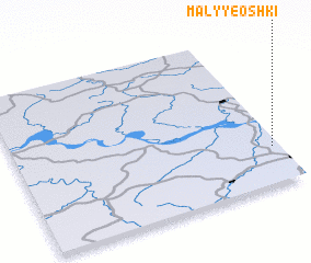 Places with similar names to MalyyeOshki, Russia ::
// Meleshki (UA)
// Molochki (UA)
// Malashka (RU)
// Maloshki (RU)
// Maloshuyka (RU)
// Malyy Chik (RU)
// Malyy Chik (RU)
// Malyye Chaki (RU)
// Milashka (RU)
// Muleshka (RU)
Disclaimer :: Information on this page comes without warranty of any kind |
||
|
Where is MalyyeOshki? Elevation and coordinates ::
Latitude (lat): 57°14'14"N Longitude (lon): 49°58'13"E
Elevation (approx.): 179m (map arrows pan, magnifying glasses zoom) |
||
|
Visiting MalyyeOshki? Hotel/Accommodation ::
Book a hotel in MalyyeOshki Travel Guide ::
Buy a travel guide for Russia rental cars ::
car rental offers GPS waypoint ::
download a GPX waypoint (PoI) of MalyyeOshki for your GPS receiver
|
||