|
search place name
|
||
Prigorodnyy (Tul'skaya Oblast', Russia)Prigorodnyy is a town in the Tul'skaya Oblast' region of Russia. An overview map of the region around Prigorodnyy is displayed below.
regional and 3d topo map of Prigorodnyy, Russia ::

Prigorodnyy airports ::
The nearest airport is VKO - Moscow Vnukovo, located 210.9 km north of Prigorodnyy.
Other airports nearby include VOZ - Voronezh Chertovitskoye (248.7 km south east), Nearby towns ::
Rakhmanovo (2.2km west) //
Sinyavino (3.0km east) //
Molochnyye Dvory (5.3km south) //
Plavsk (3.4km north east) //
Yur'yevo (5.0km north east) //
Oktyabr'skiy (7.7km north) //
Volkhonshchino (7.7km north) //
Novaya Slobodka (4.7km west) //
Krekshino (8.8km north) //
Akulovo (7.2km north west) //
Petrovka (8.6km south west) //
Samozvanovka (9.2km south) //
Yelizavetino (7.7km south west) //
[all distances 'as the bird flies' and approximate] 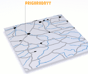 Places with similar names to Prigorodnyy, Russia ::
// Parkertown (US)
// Prägarten (AT)
// Prägraten (AT)
// Pregarten (AT)
// Parkertown (US)
// Prigrađani (BA)
// Perekratnyy (RU)
// Parkertown (US)
// Parkerton (US)
// Parkertown (US)
Disclaimer :: Information on this page comes without warranty of any kind |
||
|
Where is Prigorodnyy? Elevation and coordinates ::
Latitude (lat): 53°41'50"N Longitude (lon): 37°14'40"E
Elevation (approx.): 160m (map arrows pan, magnifying glasses zoom) |
||
|
Visiting Prigorodnyy? Hotel/Accommodation ::
Book a hotel in Prigorodnyy Travel Guide ::
Buy a travel guide for Russia rental cars ::
car rental offers GPS waypoint ::
download a GPX waypoint (PoI) of Prigorodnyy for your GPS receiver
|
||