|
search place name
|
||
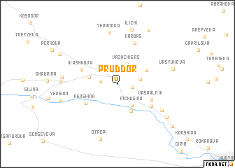
Pruddor (Komi-Permyatskiy Avtonomnyy Okrug, Russia)Pruddor is a town in the Komi-Permyatskiy Avtonomnyy Okrug region of Russia. An overview map of the region around Pruddor is displayed below.
regional and 3d topo map of Pruddor, Russia ::
Pruddor airports ::
The nearest airport is PEE - Perm Bolshoye Savino, located 162.0 km south east of Pruddor.
Nearby towns ::
Beloyevo (1.2km north) //
Saranina (1.3km south east) //
Ana'yeva (1.5km west) //
Vazh Chigas (3.3km north) //
Senina (2.0km east) //
Pichugino (3.7km south) //
Brazhkina (2.6km north west) //
Mechkor (4.4km south) //
Vil'-Chigas (3.3km north east) //
Pershina (4.0km south west) //
Vas'-Pal'nik (3.8km south east) //
Ivashkova (3.7km north west) //
Minyadyn (4.5km south east) //
Karbas (6.7km north) //
Kordyukova (5.5km south east) //
Yepanova (8.2km north) //
Isakova (4.7km west) //
Il'ichi (8.7km north) //
Vasyukova (5.2km north east) //
(( Otrepi )) (8.9km south) //
Mosheva (6.6km south east) //
Kozlova (8.9km north) //
Otevo (8.1km south east) //
[all distances 'as the bird flies' and approximate] 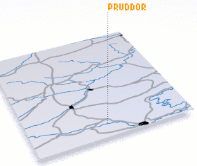 Places with similar names to Pruddor, Russia ::
// Paratari (BR)
// Parteiro (BR)
// Peritoró (BR)
// Peritoró (BR)
// Porteira (BR)
// Porteira (BR)
// Porteira (BR)
// Porteira (BR)
// Pôrto Arraia (BR)
// Pôrto Uerê (BR)
Disclaimer :: Information on this page comes without warranty of any kind |
||
|
Where is Pruddor? Elevation and coordinates ::
Latitude (lat): 59°7'45"N Longitude (lon): 54°29'30"E
Elevation (approx.): 156m (map arrows pan, magnifying glasses zoom) |
||
|
Visiting Pruddor? Hotel/Accommodation ::
Book a hotel in Pruddor Travel Guide ::
Buy a travel guide for Russia rental cars ::
car rental offers GPS waypoint ::
download a GPX waypoint (PoI) of Pruddor for your GPS receiver
|
||