|
search place name
|
||
Tras'ya (Smolenskaya Oblast', Russia)Tras'ya is a town in the Smolenskaya Oblast' region of Russia. An overview map of the region around Tras'ya is displayed below.
regional and 3d topo map of Tras'ya, Russia ::

Tras'ya airports ::
The nearest airport is KLD - Tver Migalovo, located 179.2 km north of Tras'ya.
Nearby towns ::
Kholm (1.9km south east) //
Skugorevo (3.4km south) //
Dolmatovo (3.7km north west) //
Ryazanovo (3.3km west) //
Nazar'yevo (3.3km east) //
Kur'yanovo (4.6km north east) //
Vyrevka (5.1km north west) //
Ignatovo (6.2km north) //
Sushevo (6.8km south) //
Obukhovo (7.6km north) //
Vyr'ye (4.4km west) //
Prechistoye (4.5km east) //
Tyurmino (8.3km north east) //
Zhelobki (7.7km north west) //
Tokarëvo (8.4km north west) //
[all distances 'as the bird flies' and approximate] 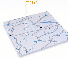 Places with similar names to Tras'ya, Russia ::
// Terezh'ye (RU)
// Derzū'īyeh (IR)
// Dīrsīyeh (IR)
// Darou Sèye (SN)
// Darou Sèye (SN)
// Terezʼya (UA)
// Dehrīzūʼīyeh (IR)
// Dīrseyo (ET)
Disclaimer :: Information on this page comes without warranty of any kind |
||
|
Where is Tras'ya? Elevation and coordinates ::
Latitude (lat): 55°14'45"N Longitude (lon): 35°11'50"E
Elevation (approx.): 210m (map arrows pan, magnifying glasses zoom) |
||
|
Visiting Tras'ya? Hotel/Accommodation ::
Book a hotel in Tras'ya Travel Guide ::
Buy a travel guide for Russia rental cars ::
car rental offers GPS waypoint ::
download a GPX waypoint (PoI) of Tras'ya for your GPS receiver
|
||