|
search place name
|
||
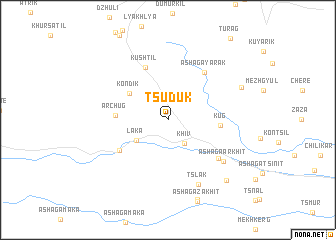
Tsuduk (Dagestan, Russia)Tsuduk is a town in the Dagestan region of Russia. An overview map of the region around Tsuduk is displayed below.
regional and 3d topo map of Tsuduk, Russia ::
Tsuduk airports ::
The nearest airport is MCX - Makhachkala Uytash, located 117.5 km north of Tsuduk.
Nearby towns ::
Chuvek (2.6km north west) //
Khiv (2.9km south east) //
Laka (3.4km south west) //
Kondik (4.3km north west) //
Kug (4.4km east) //
Archug (4.4km west) //
Kushtil' (6.1km north) //
Khoredzh (5.3km south west) //
Ashaga-Yarak (6.1km north east) //
Yukhari-Arkhit (6.0km south east) //
Ashaga-Arkhit (6.5km south east) //
Tslak (7.6km south) //
Zil'dik (7.2km north east) //
Trkal (8.4km south east) //
Yukhari-Zakhit (9.2km south) //
[all distances 'as the bird flies' and approximate] 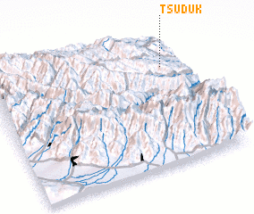 Places with similar names to Tsuduk, Russia ::
Disclaimer :: Information on this page comes without warranty of any kind |
||
|
Where is Tsuduk? Elevation and coordinates ::
Latitude (lat): 41°46'36"N Longitude (lon): 47°54'43"E
Elevation (approx.): 1023m (map arrows pan, magnifying glasses zoom) |
||
|
Visiting Tsuduk? Hotel/Accommodation ::
Book a hotel in Tsuduk Travel Guide ::
Buy a travel guide for Russia rental cars ::
car rental offers GPS waypoint ::
download a GPX waypoint (PoI) of Tsuduk for your GPS receiver
|
||