|
search place name
|
||
Verkhnekomarovskiy (Rostovskaya Oblast', Russia)Verkhnekomarovskiy is a town in the Rostovskaya Oblast' region of Russia. An overview map of the region around Verkhnekomarovskiy is displayed below.
regional and 3d topo map of Verkhnekomarovskiy, Russia ::

Verkhnekomarovskiy airports ::
The nearest airport is DOK - Donetsk Intl, located 87.2 km north west of Verkhnekomarovskiy.
Other airports nearby include ROV - Rostov Na Donu (115.2 km east), Nearby towns ::
Malokomarovskiy (3.5km south west) //
Novofëdorovskiy (3.8km south east) //
Novaya Aleksandrovka (3.9km west) //
Ul'yanovskiy (4.1km east) //
Zelënyy Gay (4.7km north west) //
Lomakin (5.3km south west) //
Petrovskiy (6.5km south) //
Kolesnikovo (5.7km north east) //
Khar'kovskiy (5.9km east) //
Sotnikov (6.0km east) //
Malofëdorovka (6.0km east) //
Oblonskiy (8.5km south) //
Krasnyy Kurgan (8.8km north) //
Blagoveshchenskiy (6.9km north east) //
Derkachëvo (7.8km north east) //
Fëdorovka (8.0km south east) //
Ofental' (9.3km south east) //
[all distances 'as the bird flies' and approximate] 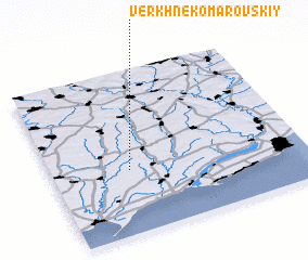 Places with similar names to Verkhnekomarovskiy, Russia ::
// Verkhne-Komarovskiy (RU)
Disclaimer :: Information on this page comes without warranty of any kind |
||
|
Where is Verkhnekomarovskiy? Elevation and coordinates ::
Latitude (lat): 47°23'22"N Longitude (lon): 38°18'25"E
Elevation (approx.): 88m (map arrows pan, magnifying glasses zoom) |
||
|
Visiting Verkhnekomarovskiy? Hotel/Accommodation ::
Book a hotel in Verkhnekomarovskiy Travel Guide ::
Buy a travel guide for Russia rental cars ::
car rental offers GPS waypoint ::
download a GPX waypoint (PoI) of Verkhnekomarovskiy for your GPS receiver
|
||