|
search place name
|
||
Vurmankasy (Chuvashiya, Russia)Vurmankasy is a town in the Chuvashiya region of Russia. An overview map of the region around Vurmankasy is displayed below.
regional and 3d topo map of Vurmankasy, Russia ::

Nearby towns ::
Al'geshevo (1.0km south east) //
Vachalkasy (2.4km north east) //
Sin'yaly (4.1km south) //
Syatrakasy (3.2km south west) //
Chapayevo (5.2km north) //
Khuronlokh (4.7km south west) //
Lapsary (3.3km west) //
Kugesi (5.4km south) //
Koshkino (5.6km north west) //
Zavodskoye (5.6km north west) //
Novyye Lapsary (3.8km west) //
Cheboksary (7.0km north) //
Yuzhnyy (7.1km north) //
Solyanoye (7.3km north) //
Bol'shoye Yangil'dino (8.6km south) //
Kochakovo (6.5km north east) //
Yakimovo (8.9km north) //
Ryabinovka (7.7km north west) //
Shorkino (9.8km south west) //
[all distances 'as the bird flies' and approximate] 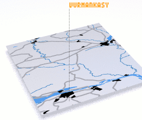 Places with similar names to Vurmankasy, Russia ::
// Vurmankasy (RU)
// Vurmankasy (RU)
// Vurmankasy (RU)
// Vurmankasy (RU)
// Vurmankasy (RU)
// Vurmankasy (RU)
// Vurmankasy (RU)
// Vurmankasy (RU)
// Vurmankasy (RU)
// Vurmankasy (RU)
Disclaimer :: Information on this page comes without warranty of any kind |
||
|
Where is Vurmankasy? Elevation and coordinates ::
Latitude (lat): 56°4'13"N Longitude (lon): 47°16'10"E
Elevation (approx.): 156m (map arrows pan, magnifying glasses zoom) |
||
|
Visiting Vurmankasy? Hotel/Accommodation ::
Book a hotel in Vurmankasy Travel Guide ::
Buy a travel guide for Russia rental cars ::
car rental offers GPS waypoint ::
download a GPX waypoint (PoI) of Vurmankasy for your GPS receiver
|
||