|
search place name
|
||
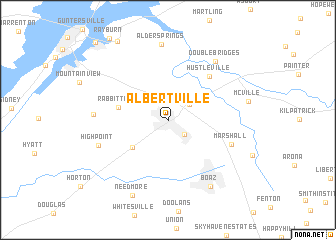
Albertville (Alabama, United States - USA)Albertville is a town in the Alabama region of United States - USA. An overview map of the region around Albertville is displayed below.
regional and 3d topo map of Albertville, United States - USA ::
Albertville airports ::
The nearest airport is HUA - Redstone Aaf, located 63.2 km north west of Albertville.
Other airports nearby include ANB - Anniston Metro (82.0 km south east), BHM - Birmingham Intl (93.0 km south west), CHA - Chattanooga Lovell Fld (125.5 km north east), MGE - Marietta Dobbins Arb (Atlanta Nas) (161.0 km east), Nearby towns ::
Saratoga (2.2km south east) //
Corbinville (2.6km north east) //
White Oak (4.5km south west) //
Rabbit Town (4.7km west) //
Hustleville (6.2km north east) //
Marshall (6.5km south east) //
High Point (7.0km south west) //
Double Bridges (7.8km north east) //
Lattiwood (6.9km west) //
Alder Springs (8.4km north) //
Boaz (8.4km south east) //
Needmore (9.0km south) //
Hide Away Acres (9.9km north west) //
Wyeth City (11.0km north west) //
[all distances 'as the bird flies' and approximate] 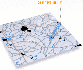 Places with similar names to Albertville, United States - USA ::
Disclaimer :: Information on this page comes without warranty of any kind |
||
|
Where is Albertville? Elevation and coordinates ::
Latitude (lat): 34°16'3"N Longitude (lon): 86°12'32"W
Elevation (approx.): 323m (map arrows pan, magnifying glasses zoom) |
||
|
Visiting Albertville? Hotel/Accommodation ::
Book a hotel in Albertville Travel Guide ::
rental cars ::
car rental offers GPS waypoint ::
download a GPX waypoint (PoI) of Albertville for your GPS receiver
|
||