|
search place name
|
||
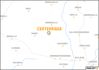
Center Ridge (Alabama, United States - USA)Center Ridge is a town in the Alabama region of United States - USA. An overview map of the region around Center Ridge is displayed below.
regional and 3d topo map of Center Ridge, United States - USA ::
Center Ridge airports ::
The nearest airport is MXF - Montgomery Maxwell Afb, located 63.0 km north of Center Ridge.
Other airports nearby include DHN - Dothan Rgnl (106.6 km south east), CEW - Crestview Bob Sikes (115.4 km south), LSF - Fort Benning Lawson Aaf (146.1 km north east), VPS - Valparaiso Eglin Afb (148.1 km south), Nearby towns ::
Honoraville (3.9km north) //
Midway (4.8km west) //
Centenary (5.9km south east) //
[all distances 'as the bird flies' and approximate] 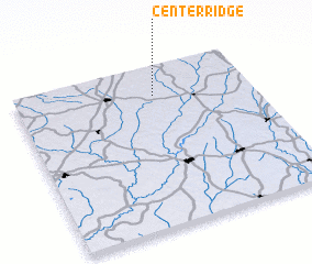 Places with similar names to Center Ridge, United States - USA ::
// Center Ridge (US)
// Sandy Ridge (US)
// Center Ridge (US)
// Sand Ridge (US)
// Center Ridge (US)
// Sand Ridge (US)
// Sand Ridge (US)
// Sand Ridge (US)
// Sand Ridge (US)
// Sındırgı (TR)
Disclaimer :: Information on this page comes without warranty of any kind |
||
|
Where is Center Ridge? Elevation and coordinates ::
Latitude (lat): 31°48'57"N Longitude (lon): 86°24'45"W
Elevation (approx.): 138m (map arrows pan, magnifying glasses zoom) |
||
|
Visiting Center Ridge? Hotel/Accommodation ::
Book a hotel in Center Ridge Travel Guide ::
rental cars ::
car rental offers GPS waypoint ::
download a GPX waypoint (PoI) of Center Ridge for your GPS receiver
|
||