|
search place name
|
||
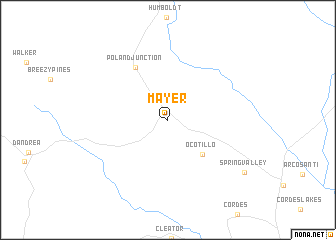
Mayer (Arizona, United States - USA)Mayer is a town in the Arizona region of United States - USA. An overview map of the region around Mayer is displayed below.
regional and 3d topo map of Mayer, United States - USA ::
Mayer airports ::
The nearest airport is PRC - Prescott Ernest A Love Fld, located 33.1 km north west of Mayer.
Other airports nearby include LUF - Phoenix Luke Afb (96.7 km south), PHX - Phoenix Sky Harbor Intl (108.9 km south), Nearby towns ::
Ocotillo (4.9km south east) //
Poland Junction (6.6km north west) //
Spring Valley (9.2km south east) //
[all distances 'as the bird flies' and approximate] 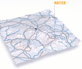 Places with similar names to Mayer, United States - USA ::
Disclaimer :: Information on this page comes without warranty of any kind |
||
|
Where is Mayer? Elevation and coordinates ::
Latitude (lat): 34°23'52"N Longitude (lon): 112°14'8"W
Elevation (approx.): 1345m (map arrows pan, magnifying glasses zoom) |
||
|
Visiting Mayer? Hotel/Accommodation ::
Book a hotel in Mayer Travel Guide ::
rental cars ::
car rental offers GPS waypoint ::
download a GPX waypoint (PoI) of Mayer for your GPS receiver
|
||