|
search place name
|
||
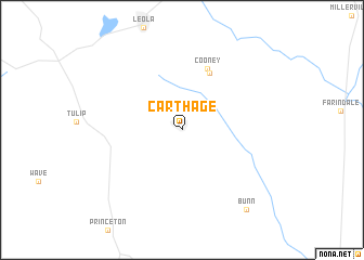
Carthage (Arkansas, United States - USA)Carthage is a town in the Arkansas region of United States - USA. An overview map of the region around Carthage is displayed below.
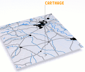
regional and 3d topo map of Carthage, United States - USA ::
Carthage airports ::
The nearest airport is LIT - Little Rock Adams Fld, located 78.7 km north east of Carthage.
Other airports nearby include ELD - El Dorado South Arkansas Rgnl At Goodwin Fld (97.7 km south), LRF - Jacksonville Little Rock Afb (100.6 km north), TXK - Texarkana Rgnl Webb Fld (149.8 km south west), MLU - Monroe Rgnl (180.1 km south), Nearby towns ::
 Places with similar names to Carthage, United States - USA ::
Disclaimer :: Information on this page comes without warranty of any kind |
||
|
Where is Carthage? Elevation and coordinates ::
Latitude (lat): 34°4'30"N Longitude (lon): 92°33'19"W
Elevation (approx.): 102m (map arrows pan, magnifying glasses zoom) |
||
|
Visiting Carthage? Hotel/Accommodation ::
Book a hotel in Carthage Travel Guide ::
rental cars ::
car rental offers GPS waypoint ::
download a GPX waypoint (PoI) of Carthage for your GPS receiver
|
||