|
search place name
|
||
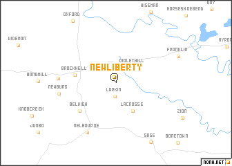
New Liberty (Arkansas, United States - USA)New Liberty is a town in the Arkansas region of United States - USA. An overview map of the region around New Liberty is displayed below.
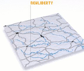
regional and 3d topo map of New Liberty, United States - USA ::
New Liberty airports ::
The nearest airport is JBR - Jonesboro Muni, located 114.9 km east of New Liberty.
Other airports nearby include HRO - Harrison Boone Co (116.8 km west), LRF - Jacksonville Little Rock Afb (137.2 km south), LIT - Little Rock Adams Fld (158.9 km south), BYH - Blytheville Arkansas Intl (174.2 km east), Nearby towns ::
 Places with similar names to New Liberty, United States - USA ::
// New Liberty (US)
// New Liberty (US)
// New Liberty (US)
// New Liberty (US)
// New Liberty (US)
// New Liberty (US)
// New Liberty (US)
// New Liberty (US)
// New Liberty (US)
// New Liberty (US)
Disclaimer :: Information on this page comes without warranty of any kind |
||
|
Where is New Liberty? Elevation and coordinates ::
Latitude (lat): 36°7'53"N Longitude (lon): 91°51'59"W
Elevation (approx.): 242m (map arrows pan, magnifying glasses zoom) |
||
|
Visiting New Liberty? Hotel/Accommodation ::
Book a hotel in New Liberty Travel Guide ::
rental cars ::
car rental offers GPS waypoint ::
download a GPX waypoint (PoI) of New Liberty for your GPS receiver
|
||