|
search place name
|
||
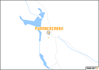
Furnace Creek (California, United States - USA)Furnace Creek is a town in the California region of United States - USA. An overview map of the region around Furnace Creek is displayed below.
regional and 3d topo map of Furnace Creek, United States - USA ::
Furnace Creek airports ::
The nearest airport is LAS - Las Vegas Mc Carran Intl, located 159.9 km east of Furnace Creek.
Other airports nearby include LSV - Las Vegas Nellis Afb (166.6 km east), EDW - Edwards Afb (195.2 km south west), PMD - Palmdale Rgnl Usaf Plt 42 (230.9 km south west), Nearby towns ::
Indian Village (1.0km south) //
[all distances 'as the bird flies' and approximate]  Places with similar names to Furnace Creek, United States - USA :: Disclaimer :: Information on this page comes without warranty of any kind |
||
|
Where is Furnace Creek? Elevation and coordinates ::
Latitude (lat): 36°27'29"N Longitude (lon): 116°52'12"W
Elevation (approx.): -55m (map arrows pan, magnifying glasses zoom) |
||
|
Visiting Furnace Creek? Hotel/Accommodation ::
Book a hotel in Furnace Creek Travel Guide ::
rental cars ::
car rental offers GPS waypoint ::
download a GPX waypoint (PoI) of Furnace Creek for your GPS receiver
|
||