|
search place name
|
||
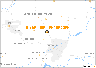
Ivy del Mobile Home Park (California, United States - USA)Ivy del Mobile Home Park is a town in the California region of United States - USA. An overview map of the region around Ivy del Mobile Home Park is displayed below.
regional and 3d topo map of Ivy del Mobile Home Park, United States - USA ::
Ivy del Mobile Home Park airports ::
The nearest airport is NKX - Miramar Mcas, located 33.8 km south of Ivy del Mobile Home Park.
Other airports nearby include SAN - San Diego Intl (49.2 km south), NZY - San Diego North Island Nas (53.3 km south), TIJ - Tijuana General Abelardo L Rodriguez Intl (71.0 km south), RIV - Riverside March Arb (80.0 km north), Nearby towns ::
Jesmond Dene (1.1km north) //
Citrus Gardens Mobile Home Park (2.5km south west) //
Foothills of San Marcos Mobile Home Park (3.7km south west) //
Twin Oaks (4.8km west) //
Hidden Meadows (6.1km north) //
Escondido (6.1km south) //
San Marcos (6.4km south west) //
Lawrence Welk Resort Village (7.4km north west) //
Hideaway Mobile Estates (8.3km north east) //
Harmony Grove (8.8km south) //
Valley Center (8.5km north east) //
[all distances 'as the bird flies' and approximate] 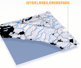 Places with similar names to Ivy del Mobile Home Park, United States - USA :: Disclaimer :: Information on this page comes without warranty of any kind |
||
|
Where is Ivy del Mobile Home Park? Elevation and coordinates ::
Latitude (lat): 33°10'16"N Longitude (lon): 117°6'18"W
Elevation (approx.): 260m (map arrows pan, magnifying glasses zoom) |
||
|
Visiting Ivy del Mobile Home Park? Hotel/Accommodation ::
Book a hotel in Ivy del Mobile Home Park Travel Guide ::
rental cars ::
car rental offers GPS waypoint ::
download a GPX waypoint (PoI) of Ivy del Mobile Home Park for your GPS receiver
|
||