|
search place name
|
||
McNear (California, United States - USA)McNear is a town in the California region of United States - USA. An overview map of the region around McNear is displayed below.
regional and 3d topo map of McNear, United States - USA ::

McNear airports ::
The nearest airport is SUU - Fairfield Travis Afb, located 60.1 km east of McNear.
Other airports nearby include OAK - Metropolitan Oakland Intl (66.0 km south east), SFO - San Francisco Intl (70.8 km south), SAC - Sacramento Executive (102.8 km east), NUQ - Mountain View Moffett Federal Afld (102.9 km south east), Nearby towns ::
Haystack (0.7km south east) //
East Petaluma (2.2km north west) //
San Antonio (5.4km south) //
Crown (5.6km north west) //
Lakeville (6.7km south east) //
Leisure Lake Mobile Home Park (7.6km north west) //
Burdell (8.9km south east) //
Diamond A Ranch Estates (10.3km north east) //
[all distances 'as the bird flies' and approximate] 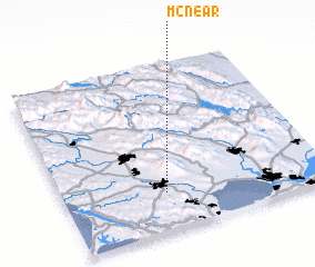 Places with similar names to McNear, United States - USA ::
Disclaimer :: Information on this page comes without warranty of any kind |
||
|
Where is McNear? Elevation and coordinates ::
Latitude (lat): 38°13'43"N Longitude (lon): 122°36'47"W
Elevation (approx.): -1m (map arrows pan, magnifying glasses zoom) |
||
|
Visiting McNear? Hotel/Accommodation ::
Book a hotel in McNear Travel Guide ::
rental cars ::
car rental offers GPS waypoint ::
download a GPX waypoint (PoI) of McNear for your GPS receiver
|
||