|
search place name
|
||
Rosemont (California, United States - USA)Rosemont is a town in the California region of United States - USA. An overview map of the region around Rosemont is displayed below.
regional and 3d topo map of Rosemont, United States - USA ::

Rosemont airports ::
The nearest airport is SAC - Sacramento Executive, located 12.1 km west of Rosemont.
Other airports nearby include MCC - Sacramento Mc Clellan Afld (13.2 km north), RIU - Rancho Murieta (23.9 km east), SMF - Sacramento Intl (25.4 km north west), SUU - Fairfield Travis Afb (58.8 km south west), Nearby towns ::
Manlove (0.7km west) //
La Riviera (1.8km north) //
Mayhew (1.9km north east) //
Arden Town (2.9km north west) //
Walsh Station (3.7km south east) //
Brighton (4.6km west) //
Mather Field (6.1km east) //
Florin (7.3km south west) //
Carmichael (7.9km north east) //
Town and Country Village (8.0km north west) //
Fruitridge Manor (7.4km south west) //
Swanston (8.6km north west) //
Ben Ali (9.3km north west) //
Hagginwood (10.3km north west) //
[all distances 'as the bird flies' and approximate] 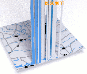 Places with similar names to Rosemont, United States - USA ::
Disclaimer :: Information on this page comes without warranty of any kind |
||
|
Where is Rosemont? Elevation and coordinates ::
Latitude (lat): 38°33'7"N Longitude (lon): 121°21'49"W
Elevation (approx.): 16m (map arrows pan, magnifying glasses zoom) |
||
|
Visiting Rosemont? Hotel/Accommodation ::
Book a hotel in Rosemont Travel Guide ::
rental cars ::
car rental offers GPS waypoint ::
download a GPX waypoint (PoI) of Rosemont for your GPS receiver
|
||