|
search place name
|
||
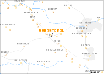
Sebastopol (California, United States - USA)Sebastopol is a town in the California region of United States - USA. An overview map of the region around Sebastopol is displayed below.
regional and 3d topo map of Sebastopol, United States - USA ::
Sebastopol airports ::
The nearest airport is SUU - Fairfield Travis Afb, located 79.8 km east of Sebastopol.
Other airports nearby include OAK - Metropolitan Oakland Intl (92.2 km south east), SFO - San Francisco Intl (95.4 km south east), SMF - Sacramento Intl (112.2 km east), SAC - Sacramento Executive (116.7 km east), Nearby towns ::
Gravenstein (1.4km east) //
Hurlbut (1.7km north west) //
Mills (2.1km north west) //
Alten (2.8km south east) //
Llano (2.8km north east) //
Fredericks (4.1km south east) //
Barlow (3.9km north west) //
Knowles Corner (5.6km south) //
Graton (5.5km north west) //
Sousa Corners (5.9km north west) //
Cunningham (6.0km south east) //
Cadwell (6.3km south east) //
Manzana (6.3km north west) //
Hessel (7.2km south east) //
Turner (7.9km south east) //
Ross (8.3km north west) //
Woodworth (9.6km south east) //
Forestville (9.8km north west) //
[all distances 'as the bird flies' and approximate] 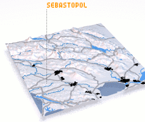 Places with similar names to Sebastopol, United States - USA ::
// Sebastopol (BR)
// Sebastopol (BR)
// Sebastopol (US)
// Sebastopol (US)
// Sebastopol (US)
// Sebastopol (US)
// Sebastopol (US)
// Sebastopol (US)
// Sebastopol (CO)
// Sebastopol (CO)
Disclaimer :: Information on this page comes without warranty of any kind |
||
|
Where is Sebastopol? Elevation and coordinates ::
Latitude (lat): 38°24'8"N Longitude (lon): 122°49'22"W
Elevation (approx.): 23m (map arrows pan, magnifying glasses zoom) |
||
|
Visiting Sebastopol? Hotel/Accommodation ::
Book a hotel in Sebastopol Travel Guide ::
rental cars ::
car rental offers GPS waypoint ::
download a GPX waypoint (PoI) of Sebastopol for your GPS receiver
|
||