|
search place name
|
||
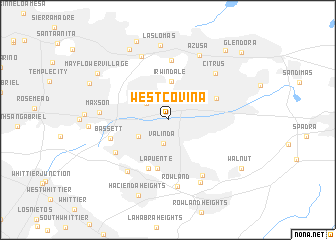
West Covina (California, United States - USA)West Covina is a town in the California region of United States - USA. An overview map of the region around West Covina is displayed below.
regional and 3d topo map of West Covina, United States - USA ::
West Covina airports ::
The nearest airport is ONT - Ontario Intl, located 31.1 km east of West Covina.
Other airports nearby include LGB - Long Beach (34.1 km south west), HHR - Jack Northrop Fld Hawthorne Muni (40.1 km south west), BUR - Burbank Bob Hope (41.5 km west), SNA - Santa Ana John Wayne Arpt Orange Co (44.1 km south), Nearby towns ::
Valinda (2.6km south) //
Baldwin Park (2.7km north west) //
West Puente Valley (3.3km south west) //
Irwindale (4.3km north) //
La Puente (5.5km south) //
Industry (5.7km south) //
Covina (5.1km north east) //
Kincaid (6.7km north) //
Bassett (5.7km west) //
Avocado Heights (6.0km south west) //
South San Jose Hills (7.0km south east) //
Citrus (6.7km north east) //
Hillgrove (6.9km south west) //
Rowland (7.5km south) //
Butler (7.5km north) //
Maxson (6.4km west) //
Marne (7.6km south east) //
Azusa (7.8km north) //
Las Lomas (8.4km north) //
Duarte (8.6km north west) //
Hacienda Heights (8.8km south) //
Bradbury (9.2km north) //
Mayflower Village (8.3km north west) //
East Arcadia (8.3km north west) //
Walnut (8.7km south east) //
La Fetra (9.4km north east) //
Glendora (10.1km north east) //
[all distances 'as the bird flies' and approximate] 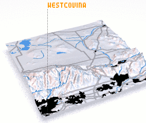 Places with similar names to West Covina, United States - USA :: Disclaimer :: Information on this page comes without warranty of any kind |
||
|
Where is West Covina? Elevation and coordinates ::
Latitude (lat): 34°4'7"N Longitude (lon): 117°56'17"W
Elevation (approx.): 115m (map arrows pan, magnifying glasses zoom) |
||
|
Visiting West Covina? Hotel/Accommodation ::
Book a hotel in West Covina Travel Guide ::
rental cars ::
car rental offers GPS waypoint ::
download a GPX waypoint (PoI) of West Covina for your GPS receiver
|
||