|
search place name
|
||
Whitesboro (California, United States - USA)Whitesboro is a town in the California region of United States - USA. An overview map of the region around Whitesboro is displayed below.
regional and 3d topo map of Whitesboro, United States - USA ::

Whitesboro airports ::
The nearest airport is SUU - Fairfield Travis Afb, located 191.4 km south east of Whitesboro.
Other airports nearby include OAK - Metropolitan Oakland Intl (213.6 km south east), SFO - San Francisco Intl (214.7 km south east), NUQ - Mountain View Moffett Federal Afld (249.7 km south east), SJC - Norman Y Mineta San Jose Intl (260.8 km south east), Nearby towns ::
Albion (1.1km north) //
Little River (6.6km north) //
[all distances 'as the bird flies' and approximate] 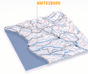 Places with similar names to Whitesboro, United States - USA ::
// Whitesboro (US)
// Whitesboro (US)
// Whitesboro (US)
// Whitesboro (US)
// Whitesboro (US)
// Heytesbury (GB)
// Whitsbury (GB)
Disclaimer :: Information on this page comes without warranty of any kind |
||
|
Where is Whitesboro? Elevation and coordinates ::
Latitude (lat): 39°12'53"N Longitude (lon): 123°45'48"W
Elevation (approx.): 45m (map arrows pan, magnifying glasses zoom) |
||
|
Visiting Whitesboro? Hotel/Accommodation ::
Book a hotel in Whitesboro Travel Guide ::
rental cars ::
car rental offers GPS waypoint ::
download a GPX waypoint (PoI) of Whitesboro for your GPS receiver
|
||