|
search place name
|
||
Ward (Delaware, United States - USA)Ward is a town in the Delaware region of United States - USA. An overview map of the region around Ward is displayed below.
regional and 3d topo map of Ward, United States - USA ::

Ward airports ::
The nearest airport is SBY - Salisbury Ocean City Wicomico Rgnl, located 16.3 km south of Ward.
Other airports nearby include DOV - Dover Afb (71.5 km north), WWD - Wildwood Cape May Co (76.3 km north east), NHK - Patuxent River Nas (84.5 km west), MIV - Millville Muni (104.1 km north), Nearby towns ::
Smith Hill (3.3km west) //
Pepperbox (3.6km north east) //
Melson (4.9km south) //
Stellas Venture (5.0km south west) //
Hampton Court (5.2km south) //
Hayden Acres (4.8km south west) //
Lowe (5.2km north west) //
Whaleys Crossroads (5.7km north east) //
Pepper (6.3km north) //
Whitesville (5.3km south east) //
Greenland (6.4km south) //
Carey Acres (6.2km south west) //
Essex Ridge (7.2km south) //
Pembroke Hills (8.0km south) //
Scottsdale Park Mobile Home Park (6.5km west) //
East Winds (8.1km south) //
Stage Mobile Home Village (6.7km west) //
Lowes Crossroads (7.5km north east) //
Hideaway Acres (8.9km south) //
Hearns Crossroads (8.2km north west) //
Rosewood Forest (9.3km south west) //
Sandy Fork (9.0km north west) //
Hickman Village Estates Mobile Home Park (8.7km north west) //
Rum Ridge Estates (9.3km south west) //
Danwood (9.3km south west) //
Lake Pines (10.0km north west) //
Pusey Crossroads (10.0km north east) //
Avalon Park (10.1km south west) //
Shady Acres Mobile Home Park (11.1km north west) //
[all distances 'as the bird flies' and approximate] 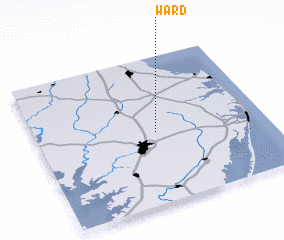 Places with similar names to Ward, United States - USA ::
Disclaimer :: Information on this page comes without warranty of any kind |
||
|
Where is Ward? Elevation and coordinates ::
Latitude (lat): 38°29'7"N Longitude (lon): 75°28'41"W
Elevation (approx.): 16m (map arrows pan, magnifying glasses zoom) |
||
|
Visiting Ward? Hotel/Accommodation ::
Book a hotel in Ward Travel Guide ::
rental cars ::
car rental offers GPS waypoint ::
download a GPX waypoint (PoI) of Ward for your GPS receiver
|
||