|
search place name
|
||
Englewood (Florida, United States - USA)Englewood is a town in the Florida region of United States - USA. An overview map of the region around Englewood is displayed below.
regional and 3d topo map of Englewood, United States - USA ::

nearby GPS traces from timatio ::
Englewood airports ::
The nearest airport is NIP - Jacksonville Nas, located 7.7 km south west of Englewood.
Other airports nearby include JAX - Jacksonville Intl (23.7 km north), GNV - Gainesville Rgnl (90.9 km south west), VAD - Valdosta Moody Afb (168.1 km north west), SVN - Hunter Aaf (196.4 km north), Nearby towns ::
South Metro (0.7km west) //
Larsen (1.1km south west) //
Spring Glen (1.9km north east) //
Philips (2.0km north west) //
Saint Nicholas (2.2km north west) //
Bowden (2.5km south) //
Lakewood (3.0km south) //
South Jacksonville (3.2km north west) //
Miramar Terrace (3.2km west) //
San Jose Forest (4.0km south) //
San Marco (4.2km north west) //
Hogan (4.3km east) //
San Jose (5.1km south) //
Holiday Hill (4.8km north east) //
Pineland Gardens (5.0km south east) //
Jacksonville (5.7km north west) //
Arlington (5.8km north east) //
Oakwood Villa (5.7km north east) //
Floral Bluff (6.4km north) //
Eggleston Heights (6.5km north east) //
Brooklyn (6.1km north west) //
Killarney Shores (5.9km east) //
Riverside (6.2km north west) //
Springfield (7.0km north) //
Azalea Terrace (6.3km east) //
Southside Estates (6.6km east) //
Talleyrand (8.1km north) //
College Park (8.1km north west) //
Ortega Terrace (7.6km west) //
[all distances 'as the bird flies' and approximate] 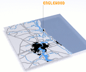 Places with similar names to Englewood, United States - USA ::
Disclaimer :: Information on this page comes without warranty of any kind |
||
|
Where is Englewood? Elevation and coordinates ::
Latitude (lat): 30°17'14"N Longitude (lon): 81°37'35"W
Elevation (approx.): 10m (map arrows pan, magnifying glasses zoom) |
||
|
Visiting Englewood? Hotel/Accommodation ::
Book a hotel in Englewood Travel Guide ::
rental cars ::
car rental offers GPS waypoint ::
download a GPX waypoint (PoI) of Englewood for your GPS receiver
|
||