|
search place name
|
||
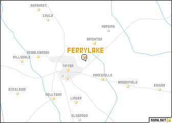
Ferry Lake (Georgia, United States - USA)Ferry Lake is a town in the Georgia region of United States - USA. An overview map of the region around Ferry Lake is displayed below.
regional and 3d topo map of Ferry Lake, United States - USA ::
Ferry Lake airports ::
The nearest airport is VAD - Valdosta Moody Afb, located 61.5 km south east of Ferry Lake.
Other airports nearby include WRB - Macon Robins Afb (130.5 km north), MCN - Macon Middle Georgia Rgnl (136.9 km north), TLH - Tallahassee Rgnl (145.3 km south west), LSF - Fort Benning Lawson Aaf (173.0 km north west), Nearby towns ::
Brighton (4.2km north) //
Tifton (3.9km south west) //
Vanceville (4.9km south east) //
Unionville (5.0km south west) //
Phillipsburg (5.4km south west) //
Harding (7.9km north east) //
Linder (9.1km south) //
Kelltown (10.1km south west) //
[all distances 'as the bird flies' and approximate] 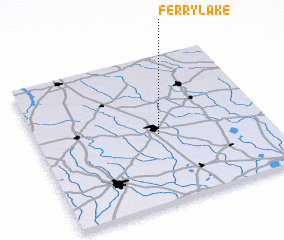 Places with similar names to Ferry Lake, United States - USA ::
// Frielick (DE)
// Verilaíika (GR)
// Fârliug (RO)
// Varlık (TR)
// Verlook (UA)
// Ferry Lake (US)
// Phurlak (IN)
// Faralako (GN)
// Vrhloga (SI)
// Freluga (SE)
Disclaimer :: Information on this page comes without warranty of any kind |
||
|
Where is Ferry Lake? Elevation and coordinates ::
Latitude (lat): 31°28'2"N Longitude (lon): 83°28'23"W
Elevation (approx.): 108m (map arrows pan, magnifying glasses zoom) |
||
|
Visiting Ferry Lake? Hotel/Accommodation ::
Book a hotel in Ferry Lake Travel Guide ::
rental cars ::
car rental offers GPS waypoint ::
download a GPX waypoint (PoI) of Ferry Lake for your GPS receiver
|
||