|
search place name
|
||
Lanier Valley (Georgia, United States - USA)Lanier Valley is a town in the Georgia region of United States - USA. An overview map of the region around Lanier Valley is displayed below.
regional and 3d topo map of Lanier Valley, United States - USA ::

Lanier Valley airports ::
The nearest airport is MGE - Marietta Dobbins Arb (Atlanta Nas), located 73.8 km south west of Lanier Valley.
Other airports nearby include ATL - Hartsfield Jackson Atlanta Intl (90.3 km south west), AND - Andersen Anderson Rgnl (108.5 km east), CHA - Chattanooga Lovell Fld (147.1 km north west), TYS - Knoxville Mc Ghee Tyson (167.8 km north), Nearby towns ::
Lakeshore Estates (0.6km east) //
Ahaluna (1.2km north) //
Waterford (1.2km south) //
Green Hills (1.4km south east) //
White Sands (1.7km north) //
Atlas Circle (2.3km south) //
Point View Landing (2.0km north west) //
Beverly Hills (2.5km north) //
Mill Ridge (2.3km south west) //
Cherrywood (3.0km south) //
Holland (3.3km south) //
Pine Haven (3.2km south west) //
Sidney on Lanier (3.3km north west) //
Crown Point (3.1km north west) //
Pinecrest Heights (3.4km north west) //
Wolfs Head (3.2km west) //
White (3.7km north west) //
Westside (3.7km south east) //
Cameron Point (3.4km west) //
Spring View Acres (3.9km north east) //
Reed (3.7km south west) //
Pine Hills (3.7km north west) //
Venture Cove (4.0km north west) //
Scoutland (4.5km north) //
Looper Lake (4.4km north) //
Cascade Woods (4.5km south) //
Northcliff Colony (4.4km north east) //
Maple Forge (4.6km south) //
Gainesville (3.9km east) //
[all distances 'as the bird flies' and approximate] 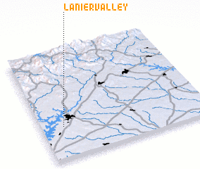 Places with similar names to Lanier Valley, United States - USA ::
Disclaimer :: Information on this page comes without warranty of any kind |
||
|
Where is Lanier Valley? Elevation and coordinates ::
Latitude (lat): 34°18'8"N Longitude (lon): 83°51'57"W
Elevation (approx.): 350m (map arrows pan, magnifying glasses zoom) |
||
|
Visiting Lanier Valley? Hotel/Accommodation ::
Book a hotel in Lanier Valley Travel Guide ::
rental cars ::
car rental offers GPS waypoint ::
download a GPX waypoint (PoI) of Lanier Valley for your GPS receiver
|
||