|
search place name
|
||
Pointer Ridge (Georgia, United States - USA)Pointer Ridge is a town in the Georgia region of United States - USA. An overview map of the region around Pointer Ridge is displayed below.
regional and 3d topo map of Pointer Ridge, United States - USA ::

nearby GPS traces from timatio ::
Pointer Ridge airports ::
The nearest airport is ATL - Hartsfield Jackson Atlanta Intl, located 9.5 km north east of Pointer Ridge.
Other airports nearby include MGE - Marietta Dobbins Arb (Atlanta Nas) (38.4 km north), MCN - Macon Middle Georgia Rgnl (125.1 km south east), ANB - Anniston Metro (126.9 km west), WRB - Macon Robins Afb (133.0 km south east), Nearby towns ::
Kimberly (0.4km south east) //
Smoke Ridge (0.7km south west) //
Bethsaida West (1.1km south east) //
Rebecca Lake Estates (1.2km south west) //
Deerwood Park (1.3km south) //
Beaver Creek (1.5km north) //
Ponderosa (1.8km north) //
West Road Acres (2.0km south east) //
Thornton Woods (1.8km east) //
Hallie Hills (1.8km east) //
Laurel Woods (2.1km north) //
Hillandale (2.5km north) //
Ponderosa Pines (2.6km north) //
Flat Shoals Estates (2.6km north east) //
Monterey (2.9km north east) //
Arbor West (2.8km south east) //
Chippewa Forest (2.7km east) //
Bench Mark (3.5km north west) //
Christian Corners (3.3km south west) //
Devonshire (3.4km north east) //
The Meadows (3.9km north) //
The Woods (3.3km south west) //
Camp Valley Estates (3.3km east) //
Hollydale (3.4km north east) //
Pleasant Hill (3.8km north east) //
Camelot Club (4.0km north east) //
Ashland Estates (3.4km east) //
Valley Forest (3.6km north east) //
Shandra Estates (3.6km north west) //
[all distances 'as the bird flies' and approximate] 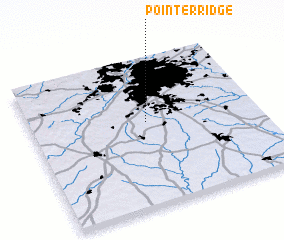 Places with similar names to Pointer Ridge, United States - USA ::
// Pound Ridge (US)
// Puente Rojo (CO)
// Puente Rojo (CO)
// Puente Rojo (CO)
// Pantairaja (ID)
// Panteraja (ID)
// Pantirejo (ID)
// Pundereje (MX)
// Pont-Rouge (CA)
// Pentridge (GB)
Disclaimer :: Information on this page comes without warranty of any kind |
||
|
Where is Pointer Ridge? Elevation and coordinates ::
Latitude (lat): 33°34'12"N Longitude (lon): 84°29'29"W
Elevation (approx.): 268m (map arrows pan, magnifying glasses zoom) |
||
|
Visiting Pointer Ridge? Hotel/Accommodation ::
Book a hotel in Pointer Ridge Travel Guide ::
rental cars ::
car rental offers GPS waypoint ::
download a GPX waypoint (PoI) of Pointer Ridge for your GPS receiver
|
||