|
search place name
|
||
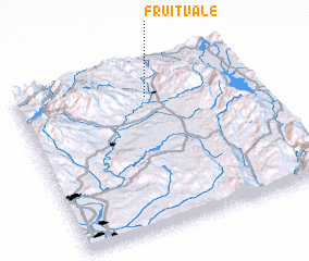
Fruitvale (Idaho, United States - USA)Fruitvale is a town in the Idaho region of United States - USA. An overview map of the region around Fruitvale is displayed below.
regional and 3d topo map of Fruitvale, United States - USA ::

Fruitvale airports ::
The nearest airport is BOI - Boise Air Terminal, located 140.1 km south of Fruitvale.
Other airports nearby include MUO - Mountain Home Afb (202.0 km south), Nearby towns ::
 Places with similar names to Fruitvale, United States - USA ::
// Froideville (CH)
// Fordville (US)
// Fruitvale (US)
// Fruitvale (US)
// Fordville (US)
// Fruitville (US)
// Fort Valley (US)
// Fortville (US)
// Freedville (US)
// Fortville (US)
Disclaimer :: Information on this page comes without warranty of any kind |
||
|
Where is Fruitvale? Elevation and coordinates ::
Latitude (lat): 44°48'55"N Longitude (lon): 116°26'21"W
Elevation (approx.): 941m (map arrows pan, magnifying glasses zoom) |
||
|
Visiting Fruitvale? Hotel/Accommodation ::
Book a hotel in Fruitvale Travel Guide ::
rental cars ::
car rental offers GPS waypoint ::
download a GPX waypoint (PoI) of Fruitvale for your GPS receiver
|
||