|
search place name
|
||
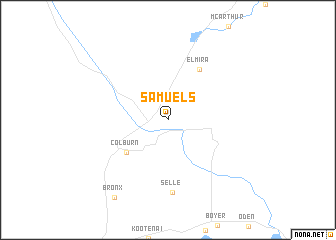
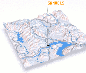
Samuels (Idaho, United States - USA)Samuels is a town in the Idaho region of United States - USA. An overview map of the region around Samuels is displayed below.
regional and 3d topo map of Samuels, United States - USA ::
Samuels airports ::
The nearest airport is SFF - Spokane Felts Fld, located 103.5 km south west of Samuels.
Other airports nearby include GEG - Spokane Intl (118.9 km south west), SKA - Spokane Fairchild Afb (125.4 km south west), YCG - Castlegar (127.6 km north west), YXC - Cranbrook (141.3 km north), Nearby towns ::
 Places with similar names to Samuels, United States - USA ::
Disclaimer :: Information on this page comes without warranty of any kind |
||
|
Where is Samuels? Elevation and coordinates ::
Latitude (lat): 48°25'46"N Longitude (lon): 116°29'34"W
Elevation (approx.): 659m (map arrows pan, magnifying glasses zoom) |
||
|
Visiting Samuels? Hotel/Accommodation ::
Book a hotel in Samuels Travel Guide ::
rental cars ::
car rental offers GPS waypoint ::
download a GPX waypoint (PoI) of Samuels for your GPS receiver
|
||