|
search place name
|
||
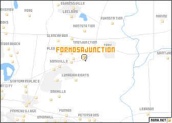
Formosa Junction (Illinois, United States - USA)Formosa Junction is a town in the Illinois region of United States - USA. An overview map of the region around Formosa Junction is displayed below.
regional and 3d topo map of Formosa Junction, United States - USA ::
Formosa Junction airports ::
The nearest airport is BLV - Belleville Scott Afb Midamerica, located 19.7 km south east of Formosa Junction.
Other airports nearby include STL - St. Louis Lambert St Louis Intl (38.7 km west), Nearby towns ::
Wilson Heights (0.8km north west) //
Lakeview Acres (2.2km west) //
Troy Junction (3.0km north) //
Chinatown (2.7km north west) //
Troy Crossing (2.5km west) //
Maryville (3.0km north west) //
Lumaghi Heights (4.5km south west) //
Troy (4.6km north east) //
Pleasant Ridge (4.6km west) //
Donkville (4.6km west) //
Glen Carbon Crossing (5.5km north west) //
Mont Station (6.7km north) //
Meadow Heights (5.7km west) //
Collinsville (6.4km south west) //
Glen Carbon (6.6km north west) //
Oak Hills (8.9km south west) //
Kuhn Station (9.4km north east) //
Hollywood Heights (10.2km south west) //
[all distances 'as the bird flies' and approximate] 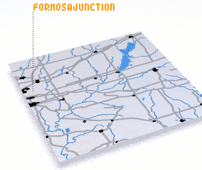 Places with similar names to Formosa Junction, United States - USA :: Disclaimer :: Information on this page comes without warranty of any kind |
||
|
Where is Formosa Junction? Elevation and coordinates ::
Latitude (lat): 38°42'26"N Longitude (lon): 89°55'41"W
Elevation (approx.): 172m (map arrows pan, magnifying glasses zoom) |
||
|
Visiting Formosa Junction? Hotel/Accommodation ::
Book a hotel in Formosa Junction Travel Guide ::
rental cars ::
car rental offers GPS waypoint ::
download a GPX waypoint (PoI) of Formosa Junction for your GPS receiver
|
||