|
search place name
|
||
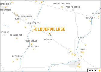
Clover Village (Indiana, United States - USA)Clover Village is a town in the Indiana region of United States - USA. An overview map of the region around Clover Village is displayed below.
regional and 3d topo map of Clover Village, United States - USA ::
Clover Village airports ::
The nearest airport is IND - Indianapolis Intl, located 39.3 km west of Clover Village.
Other airports nearby include GUS - Peru Grissom Arb (118.2 km north), CVG - Cincinnati Northern Kentucky Intl (120.0 km south east), HUF - Terre Haute Intl Hulman Fld (125.7 km west), LUK - Cincinnati Muni Lunken Fld (136.2 km south east), Nearby towns ::
Fairland (2.4km south) //
Green Meadows (3.8km north west) //
Southeast Manor (4.5km north west) //
London Heights (5.3km north west) //
Sugar Creek (5.9km north west) //
London (5.6km west) //
The Red Mills (6.2km south west) //
Boggstown (7.0km south west) //
Beech Brook (8.1km south east) //
Candleglo Village (8.0km south east) //
Hildebrand Village (9.2km south east) //
[all distances 'as the bird flies' and approximate] 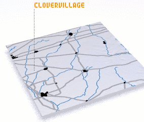 Places with similar names to Clover Village, United States - USA :: Disclaimer :: Information on this page comes without warranty of any kind |
||
|
Where is Clover Village? Elevation and coordinates ::
Latitude (lat): 39°36'27"N Longitude (lon): 85°51'33"W
Elevation (approx.): 243m (map arrows pan, magnifying glasses zoom) |
||
|
Visiting Clover Village? Hotel/Accommodation ::
Book a hotel in Clover Village Travel Guide ::
rental cars ::
car rental offers GPS waypoint ::
download a GPX waypoint (PoI) of Clover Village for your GPS receiver
|
||