|
search place name
|
||
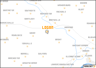
Logan (Indiana, United States - USA)Logan is a town in the Indiana region of United States - USA. An overview map of the region around Logan is displayed below.
regional and 3d topo map of Logan, United States - USA ::
Logan airports ::
The nearest airport is CVG - Cincinnati Northern Kentucky Intl, located 29.6 km south east of Logan.
Other airports nearby include LUK - Cincinnati Muni Lunken Fld (44.2 km east), DAY - James M Cox Dayton Intl (93.0 km north east), FFO - Dayton Wright Patterson Afb (97.0 km north east), IND - Indianapolis Intl (131.2 km north west), Nearby towns ::
Braysville (4.9km north east) //
Bright (4.7km south east) //
Dover (4.6km west) //
New Trenton (6.8km north) //
West Harrison (6.5km east) //
Harrison (6.6km east) //
Saint Leon (7.3km north west) //
Guilford (9.0km south) //
Rockdale (8.7km north east) //
Yorkville (7.9km south west) //
South Gate (9.7km north west) //
Bonnell (11.2km south west) //
[all distances 'as the bird flies' and approximate] 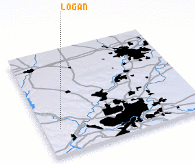 Places with similar names to Logan, United States - USA ::
Disclaimer :: Information on this page comes without warranty of any kind |
||
|
Where is Logan? Elevation and coordinates ::
Latitude (lat): 39°14'53"N Longitude (lon): 84°53'41"W
Elevation (approx.): 281m (map arrows pan, magnifying glasses zoom) |
||
|
Visiting Logan? Hotel/Accommodation ::
Book a hotel in Logan Travel Guide ::
rental cars ::
car rental offers GPS waypoint ::
download a GPX waypoint (PoI) of Logan for your GPS receiver
|
||