|
search place name
|
||
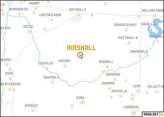
Minshall (Indiana, United States - USA)Minshall is a town in the Indiana region of United States - USA. An overview map of the region around Minshall is displayed below.
regional and 3d topo map of Minshall, United States - USA ::
Minshall airports ::
The nearest airport is HUF - Terre Haute Intl Hulman Fld, located 25.5 km south of Minshall.
Other airports nearby include IND - Indianapolis Intl (79.7 km east), GUS - Peru Grissom Arb (141.6 km north east), IKK - Greater Kankakee (164.2 km north), LOU - Louisville Bowman Fld (209.6 km south east), Nearby towns ::
Catlin (2.7km north west) //
Jessup (3.4km south west) //
Bridgeton (4.8km south east) //
Snow Hill (4.8km east) //
Coxville (6.6km west) //
Superior (7.4km south east) //
Rosedale (7.6km south west) //
Diamond (8.2km south east) //
Bradfield Corner (9.4km north west) //
Perth (10.1km south east) //
Leatherwood (10.4km north west) //
Wickville (10.8km south east) //
[all distances 'as the bird flies' and approximate] 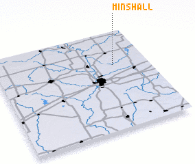 Places with similar names to Minshall, United States - USA ::
// Manchuila (PA)
// Monachil (ES)
// Mohns Hill (US)
// Manchāl (IN)
// Mīān Chāl (IR)
// Māhni Siāl (PK)
// Manch'ul-li (KP)
// Munch'ŏl-li (KP)
// Minchʼila (ET)
// Manch'ul-li (KP)
Disclaimer :: Information on this page comes without warranty of any kind |
||
|
Where is Minshall? Elevation and coordinates ::
Latitude (lat): 39°40'18"N Longitude (lon): 87°13'18"W
Elevation (approx.): 167m (map arrows pan, magnifying glasses zoom) |
||
|
Visiting Minshall? Hotel/Accommodation ::
Book a hotel in Minshall Travel Guide ::
rental cars ::
car rental offers GPS waypoint ::
download a GPX waypoint (PoI) of Minshall for your GPS receiver
|
||