|
search place name
|
||
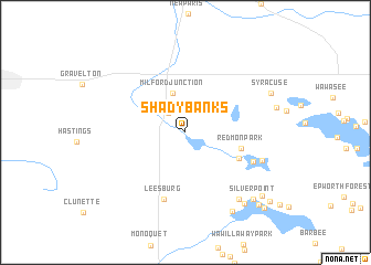
Shady Banks (Indiana, United States - USA)Shady Banks is a town in the Indiana region of United States - USA. An overview map of the region around Shady Banks is displayed below.
regional and 3d topo map of Shady Banks, United States - USA ::
Shady Banks airports ::
The nearest airport is GUS - Peru Grissom Arb, located 87.0 km south of Shady Banks.
Other airports nearby include MDW - Chicago Midway Intl (166.1 km west), GRR - Grand Rapids Gerald R Ford Intl (167.3 km north), LAN - Lansing Capital City (185.2 km north east), IND - Indianapolis Intl (190.1 km south), Nearby towns ::
Milford (2.3km north west) //
Milford Junction (4.1km north) //
Redmon Park (4.5km east) //
Musquabuck Park (4.9km south east) //
Leesburg (6.9km south) //
DeFries Landing (6.0km south east) //
Quaker Haven Park (6.5km south east) //
Bell Rohr Park (7.9km south east) //
Oswego (8.8km south east) //
Stony Ridge (8.5km south east) //
Syracuse (7.6km north east) //
Silver Point (8.5km south east) //
Kalorama Park (8.7km south east) //
Forest Glen (9.2km south east) //
Walker Park (9.5km south east) //
Potawatomi Park (9.7km south east) //
[all distances 'as the bird flies' and approximate] 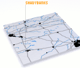 Places with similar names to Shady Banks, United States - USA ::
// Shady Banks (US)
Disclaimer :: Information on this page comes without warranty of any kind |
||
|
Where is Shady Banks? Elevation and coordinates ::
Latitude (lat): 41°23'32"N Longitude (lon): 85°49'49"W
Elevation (approx.): 255m (map arrows pan, magnifying glasses zoom) |
||
|
Visiting Shady Banks? Hotel/Accommodation ::
Book a hotel in Shady Banks Travel Guide ::
rental cars ::
car rental offers GPS waypoint ::
download a GPX waypoint (PoI) of Shady Banks for your GPS receiver
|
||