|
search place name
|
||
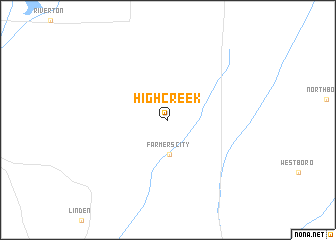
High Creek (Iowa, United States - USA)High Creek is a town in the Iowa region of United States - USA. An overview map of the region around High Creek is displayed below.
regional and 3d topo map of High Creek, United States - USA ::
High Creek airports ::
The nearest airport is OFF - Omaha Offutt Afb, located 70.7 km north west of High Creek.
Other airports nearby include OMA - Omaha Eppley Afld (87.8 km north west), LNK - Lincoln (114.4 km west), FLV - Fort Leavenworth Sherman Aaf (142.9 km south), MCI - Kansas City Intl (156.4 km south east), Nearby towns ::
Farmers City (3.8km south) //
[all distances 'as the bird flies' and approximate] 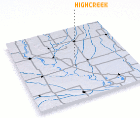 Places with similar names to High Creek, United States - USA ::
// Haffkrug (DE)
// Huff Creek (US)
Disclaimer :: Information on this page comes without warranty of any kind |
||
|
Where is High Creek? Elevation and coordinates ::
Latitude (lat): 40°35'15"N Longitude (lon): 95°27'1"W
Elevation (approx.): 344m (map arrows pan, magnifying glasses zoom) |
||
|
Visiting High Creek? Hotel/Accommodation ::
Book a hotel in High Creek Travel Guide ::
rental cars ::
car rental offers GPS waypoint ::
download a GPX waypoint (PoI) of High Creek for your GPS receiver
|
||